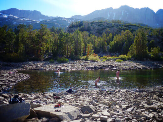
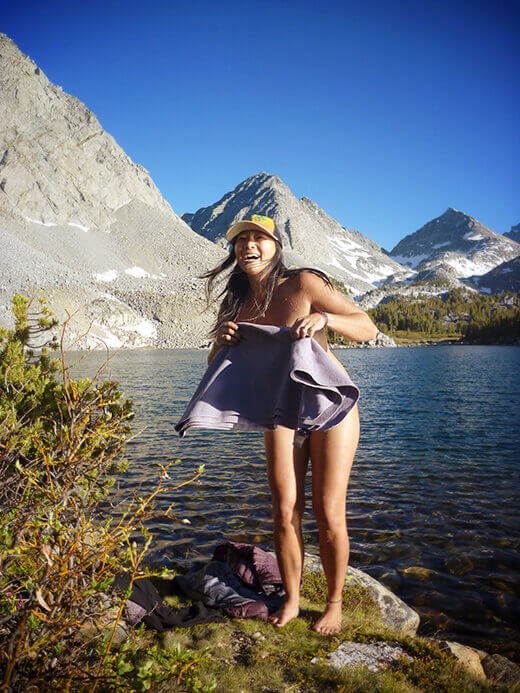
Why am I starting off a story about backpacking with a nearly nude picture of myself? Because when you’re in the middle of the wild with no one else around, skinny dipping in an alpine lake is something you have to check off the list at least once, if not every time. It is, quite indescribably, one of the highest peaks of life!
A few weeks ago we went on our first backpacking trip of the year, a three-day jaunt through the John Muir Wilderness in the Eastern Sierra Nevada.
I used to tell friends that if they wanted to witness the beauty, majesty and solitude of the Sierra, they had to work for it — hiking for miles to escape the crowds and reach the solace of stunning places they normally only saw in the movies. And for the most part, this is still true; the full experience of the mountains can only be found with a pack on your back and a little huffing and puffing to get there.
However…
Just off Highway 395 from one of those blink-and-you’ll-miss-it sort of towns, you can reach one of the most marvelous wildernesses the High Sierra has to offer in less than a mile with very little elevation gain.
In fact, it’s almost a sin how easily you can access the alpine grandeur of this area.
Little Lakes Valley has always been one of my favorite getaways in the Central California backcountry. It has some of the most well traveled and well loved trails in the Sierra but at the same time, I’m always surprised by how secluded it is.
In winter, we often stop for a cross-country ski tour along Rock Creek on a groomed trail flanked with Jeffrey and lodgepole pines.
In summer, the snow is cleared away to reveal a narrow road that winds up the canyon for 10 miles. Rock Creek Road starts in Crowley Lake at Tom’s Place (elevation 7,090 feet) and ends at Mosquito Flat trailhead (elevation 10,250 feet, the highest trailhead in the Sierra). That means you gain an astounding 3,210 feet in elevation as you drive!
From Mosquito Flat, a system of trails snakes through Little Lakes Valley and beyond. The gems of the valley are a string of scenic lakes carved by glaciers and fed by snowmelt. The sights are especially popular with fishermen and day hikers in the summer, but many of them never wander too far off the trail.
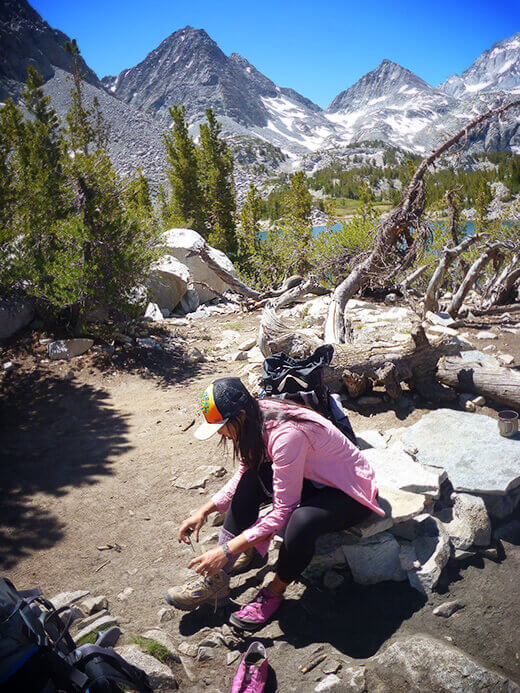
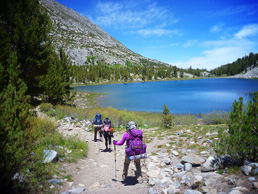
The most strenuous section was the first quarter-mile up the hill from the trailhead, but the views soon appeared before we could even catch our breath.
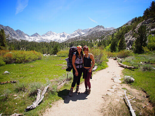
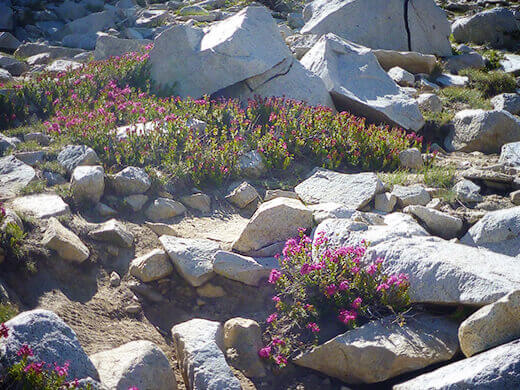
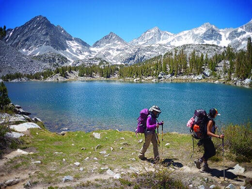
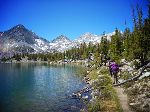
In the first three miles alone, we passed Rock Creek and its cascades several times, high country meadows filled with wildflowers, and 180-degree views of snow-capped high thirteeners. Mack Lake came into view, followed by Marsh Lake, Heart Lake, Box Lake, and Long Lake, each about 20 to 30 minutes apart from one another, and each being beautiful and special in its own right.
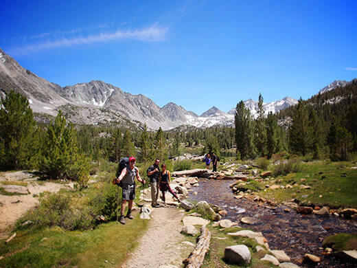
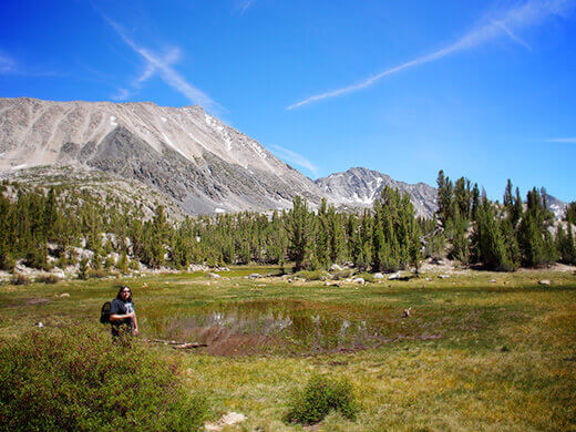
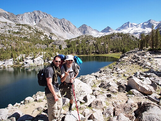
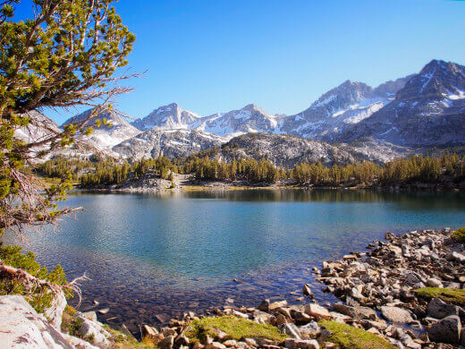
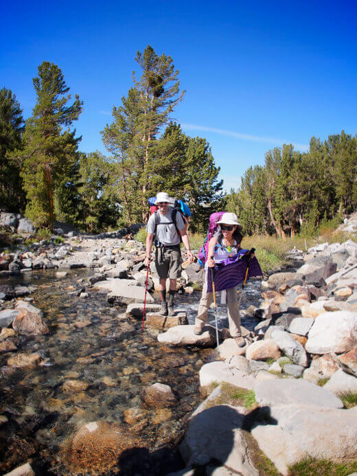
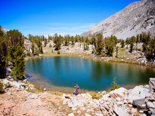
We took a quick detour off Little Lakes Valley Trail and ended up at the next lake in the chain, Chickenfoot, which was just far enough in to be isolated from the throngs of day trippers.
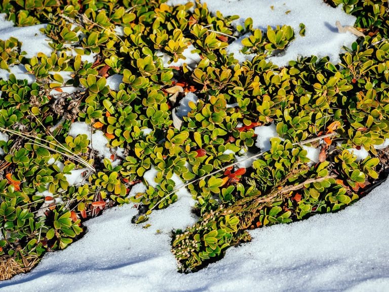
Despite low snowfall in the Sierra this past winter, there were still mounds of snow to be found that late in the season. Snow that all melted into the very lakes we would be swimming in!
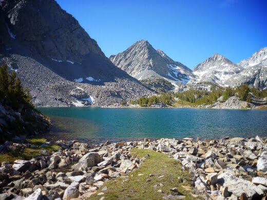
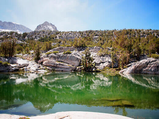
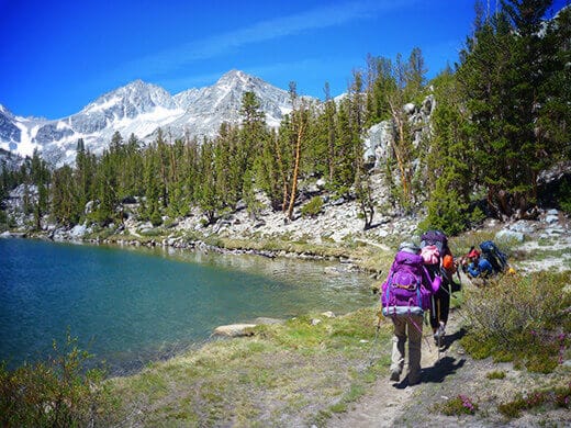
Surrounded by a cirque of granite peaks, Chickenfoot Lake (elevation 10,761 feet) is a large, crystal clear lake with a mile of mostly rocky shoreline. Though we were just three-and-a-half miles in on a nearly flat trail, only one other camper had made it that far. The rest of the lake was ours to relish.
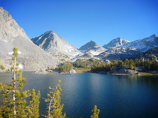
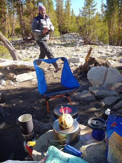
I always feel so at home in a backcountry camp. I love the process of picking out the perfect campsite, aligning the tent for the perfect view, finding the perfect rock to cook on and hang out next to.
No matter how fleeting the moments are, they always seem to move in slow-mo when I’m out in the backcountry. It’s out there, in the heart of the mountains, where I don’t think about anything else “at home” — because out there, I am home.
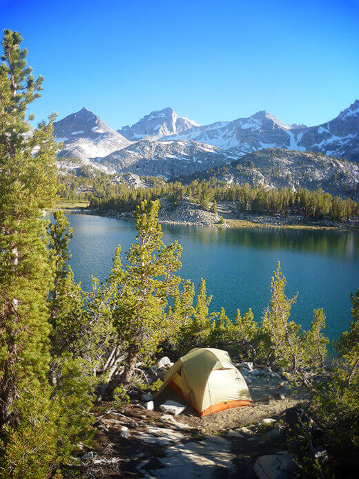
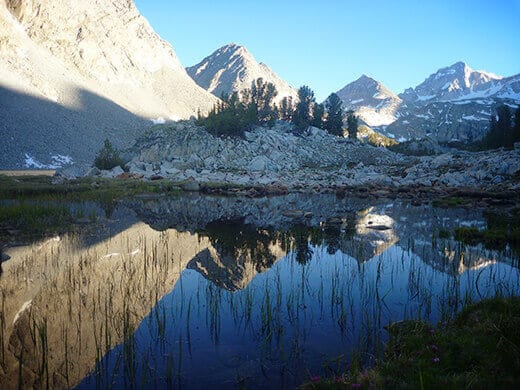
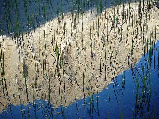
Morning brought beautiful reflections of granite on the glassy lake. I’m usually not a morning person, but there are times when I’ll wake up at dawn, take in the sunrise, then crawl back in my sleeping bag until the first rays of light start streaming through the tent.
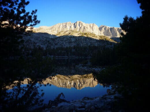
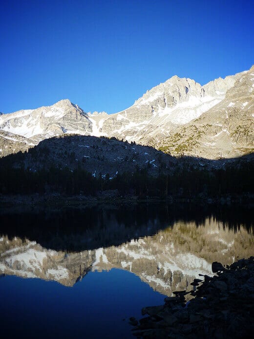
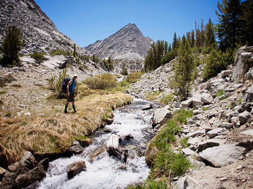
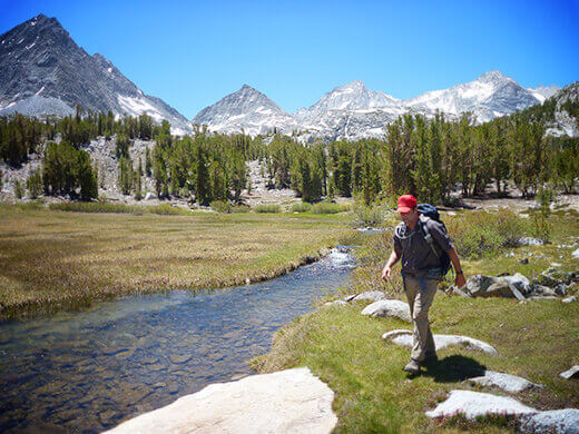
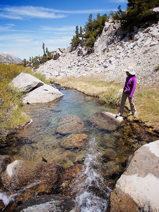
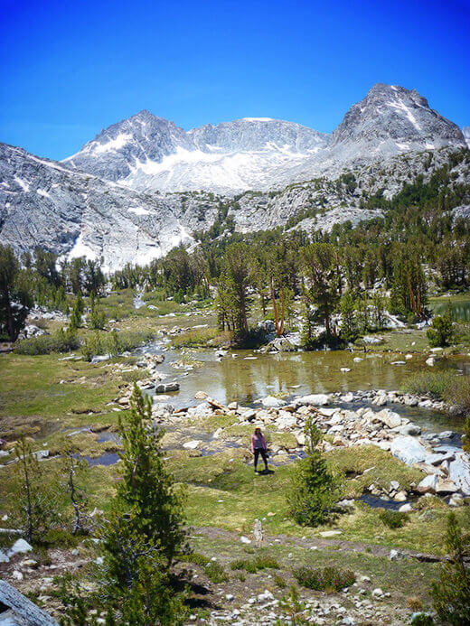
We ventured out in search of more lakes, and we weren’t disappointed. Impressive views of the Sierra Crest, including Mount Dade, Mount Mills, and Mount Abbot, loomed in the distance. Swimming holes appeared along meandering streams.
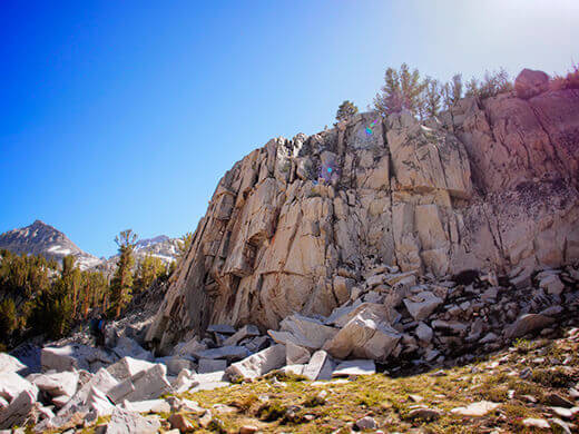
We hiked cross country through alpine meadows, up the drainage, across the boulders and past potential climbing walls as we made our way toward Gem Lakes, the next set of lakes at the end of the valley.
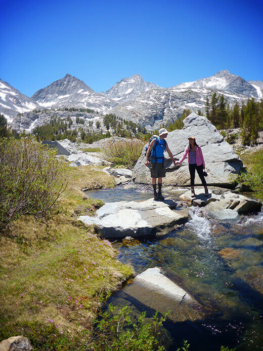
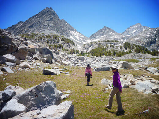
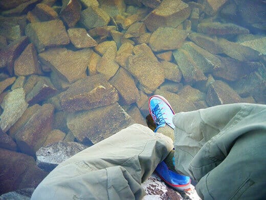
We were temped to spend the afternoon at Lower Gem Lake, a small, shallow lake that was so clear, you could clearly see the beautiful mosaic of stones underwater.
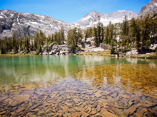
But we pushed up and ahead atop a granite bench and found Upper Gem Lake, the larger of the two.
The Gem Lakes are so called because of their brilliant color, especially the upper lake. Its piercing aqua blue comes from the high mineral content in the water, and its smaller size (compared to Chickenfoot Lake) meant it was also a few degrees warmer… if you can call 50°F water warm. (And that’s a conservative estimate.)
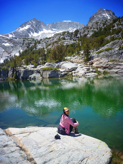
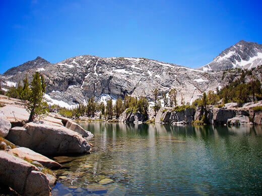
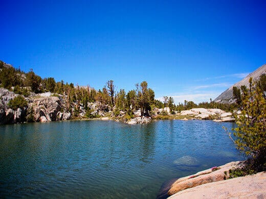
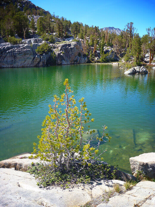
Looking at these two — my hubby Will and my frequent backpack buddy Clint — you’d think we were in the tropics though. (But not tropical enough to repeat our previous alpine lake adventure in Yosemite!)
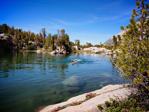
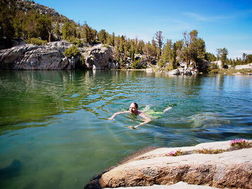
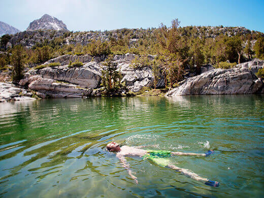
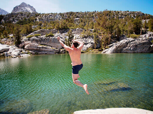
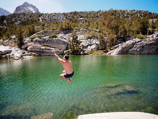
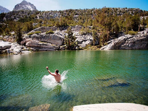
We swam and we snoozed on the hot slabs of granite, taking in the silence. And the bouts of laughter. And the cannonballs into the lake.
It was a quintessential summer day in the Sierra, sunny and slightly breezy with the occasional cheeseburger bird singing from the trees. In fact, not only was it my first backpack of the season, it was also my first cheeseburger bird of the season!
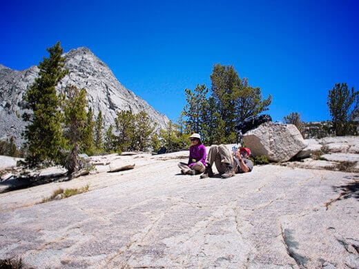
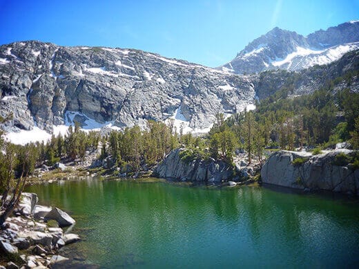
Since we’d hiked cross country to Gem Lakes, we decided to take the trail back to camp and see what other treasures we’d missed the first time. There were many.
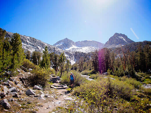
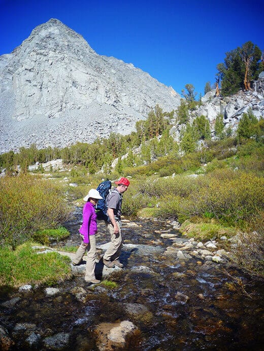
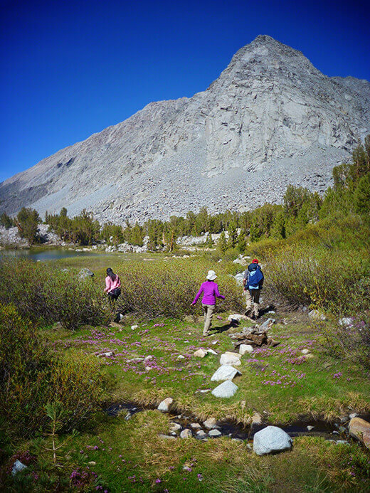
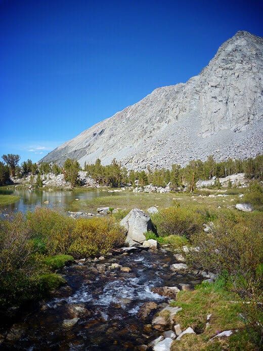
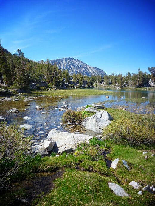
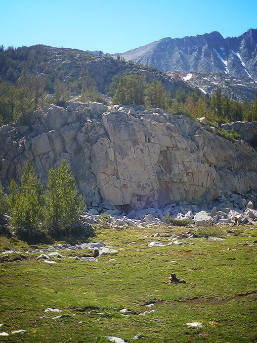
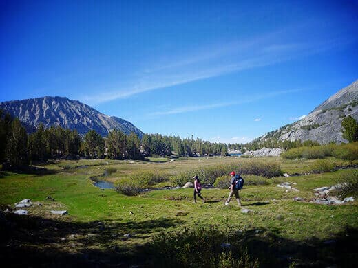
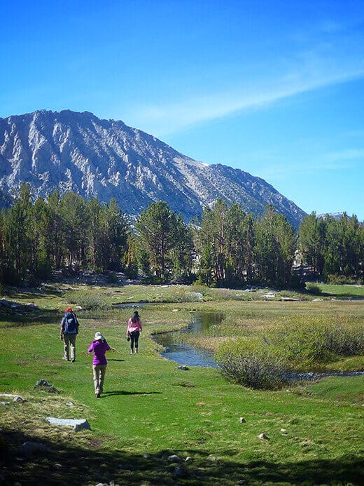
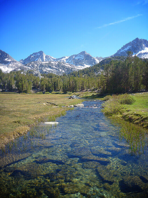
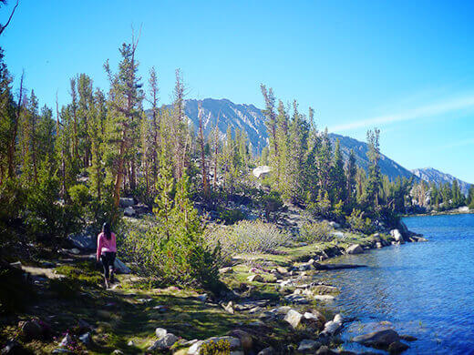
That evening, we found two more lakes near our campsite, smaller and shallower ones that were just a tad warmer and more suitable for a backcountry bath. And by bath, I mean splashing around in the water and getting out while I could still feel my toes.
Packing up the next day felt all too soon, but I was satisfied with our little adventure. The physical challenge of a good hike and the breathtaking beauty of the granite skyline had me stoked for the rest of the season, as our summer definitely got off to a good start.







Linda, I take offense to the “nearly nude” photo of yourself. If you like to skinny dip that is your choice but why broadcast and endorse it? If you are a serious Sierra lover as you claimed, treat the place with respect and let others enjoy the pristine sceneries without polluting it.
I take offense to you needing to comment on someone doing what so many others do inthe wilderness. She did nothing wrong and nothing is wrong with her photos. It’s people like yourself is what’s wrong with the world
IM GONNA
IM GONNA
IM GONNA
go skinnydipping after this and totally not be ridiculed on group chat
My new pup is super bad with heights/cliffs but otherwise likes walks/hikes. I’m taking him here in August (I’m experienced in the Sierra backcountry but without a dog) and I was wondering, did you see some good established campsites that were lake level, gorgeous, and not on any cliff or perched above the lake? Which lakes would you recommend for such a site?
Most of the lakes within the first 3-4 miles should work for your pup. You can walk right up to them from the trail (no climbing needed). They’re not as private since they’re so accessible, but they’re just as beautiful.
Thanks!
The place looks gorgeous!
It’s one of my favorite places in the Eastern Sierra!
Hi,
I would like to know the total miles and elevation gain for this trip. Is it an out and back trail or loop? How many days did you split it to?
Thanks!
Chickenfoot Lake is 3.5 miles from the trailhead with 500 feet elevation gain. We hiked there in one afternoon, set up camp, then did a day hike to Gem Lakes the next day. All together, our trip was 3 days out and back. However, there are many trails throughout Little Lakes Valley and more lakes you can camp at, so you can customize the trip to be a different out-and-back or loop with more/fewer miles or elevation gain.
Thank you for the great article! Your pictures and descriptions inspired me to take my family on their first little backpacking adventure. We are taking our three girls 11, 9, & 6. We hope that they love it and it is the beginning of a new family pastime for us. If you were to do it again, would you camp at Chickenfoot? or would you be more inclined to camp at the Upper Gem Lake? Thank You.
I would definitely camp at Chickenfoot again; it really just depends on how far you want to hike in. I hope you had/have a beautiful adventure with your family out there!
Did this trip in August and it was amazing. Love the isolation and the fact that I could have my dog off leash. What other areas do you know of that I can go backpacking with my dog that is close to how Little Lakes Valley is in regards to seclusion?
Thanks in advance!
Everywhere I’ve been in the Mammoth region has been dog-friendly. There is a great deal to explore along Highway 395 and I recommend picking up a trail book for the Sierra and Inyo National Forests. There are hundreds of beautiful hikes that originate from Bishop, Crowley Lake, Rock Creek (beyond Little Lakes Valley), and Mammoth Lakes. Ediza Lake is another one that I’ve written about on my blog.
Hey Betty!
I really wan to do this trip in the coming month but have no idea where I can get the permit for the trip. Where did you guys get yours? Reservation or walk up day of?
Call the Inyo National Forest visitor center for wilderness permits. Most are by advance reservation only, but a handful are first-come first-served and given to walk-ups if you show up to the visitor center on the day of.
This looks like so much fun! I have never been camping outside of a campground but I would love to make the drive (from LA). What tips do you have for a first timer like myself? Is it safe? Dog friendly? I have a german shepherd mix that I would love to bring with me!
Thank you in advance for any tips.
Little Lakes Valley is dog-friendly but you do need a wilderness permit for any overnights. If you’ve never been backpacking, I suggest going with an experienced backpacker. This is still a remote wilderness area that requires know-how on proper food and trash storage (since this is bear country), backcountry dishwashing, and waste disposal.
So after coming across your site from a Kos article on Shasta glacier melt and hitting the climb up Half Dome, well, you write so well and your pics are great so I moved on into your blog.
In 1981, a pal of mine and I decided to do the Kern watershed from the back of Whitney down to Johnsondale. It took us 11 days, could have been better in 14 as we had several 15-18 mile, we’re gonna run outa food days.
But suffice to say, if you and hubby want an incredibly spectacular couple of weeks that is one for the books. Out of Lone Pine, we took Old Army Pass (12,000 ft, 97 switchbacks) to the back of the Whitney spine and did a cairn trek/search cross exfoliated granite country down Whitney Creek into the headwaters and the North Fork of the Kern.
There are glacial valleys above your head a couple of thousand feet shooting waterfalls on down and about midway, maybe 4 or five days in, a half mile or so north of the Kern Ranger Station is a cement hot tub complete with a flow through hot springs and lemme tell ya, by that 4th day it was a welcome reprieve.
We ran into a trail maintenance crew, three guys, one old salt on a horse towing 3 burros loaded and two younger guys…they chuckled as we related two F-4’s had gone at treetop level past us the morning before, full flaps down, just crusin’ slow, and they commented that ‘ever now n then, we have to go n peel one of those jet jockeys off a wall down here’.
Anyway, a great escapade for a feather in your hiking hats, as it is a spectacular hike, a lot of flat walking along the raging beautiful Kern…ahem, and every so often a mile or two of sand and sand only trail…a grinder, but hey, that’s part of why we do it.
Thanks for the memory rattle…good times in the High Sierra!
Sounds like quite an adventure! I love hearing about all these other gems I’ve yet to explore in the Sierra. It’s mind-boggling how vast it is!
If the High Sierra is in your sights this summer, here’s one of my favorites: Backpacking Through Little Lakes Valley http://t.co/S5cxFxeHtR
Skinny dipping in the wilderness is the best! My honey & I went to the Verde River last weekend JUST to do that. Although there, skinny dipping is more like skinny SITTING since there are only a few places deep enough to swim; most is about knee deep. Still 100% worth it.
Completely worth it! Even when the water’s not as warm as you’d like. 😉
Little Lakes Valley looks so breathtaking! The entire trip must have felt so freeing.
It was beautiful. We were so lucky to have the whole area to ourselves!
RT @theGardenBetty: An easy hike with endless treasures on and off trail. Backpacking Through Little Lakes Valley http://t.co/BsDgAEoP1B #c…
An easy hike with endless treasures on and off trail. Backpacking Through Little Lakes Valley http://t.co/BsDgAEoP1B #california #hikerchat
What’s not to love about summer in the Sierra? Backpacking Through Little Lakes Valley http://t.co/eELo1uF5TN #california #adventure
A backcountry adventure in one of my favorite places in the High Sierra. Backpacking Through Little Lakes Valley http://t.co/6jWLU0E4GB
It’s almost a sin how easily you can access the alpine grandeur of this area. Backpacking Through Little Lakes Valley http://t.co/9e2h5rT2wI
😮 oh my! that’s for the first picture … lol
I absolutely enjoyed this blog articles of yours … the pictures are absolutely gorgeous … and as great as they are, I have no doubt they do not do being there in real time, any justice .
I hiked through Glacier International Park, and I just remember the awe inspiring beauty.
Thank you Mike! It’s definitely hard to capture the beauty of places like this in pictures… I try my best though. 🙂 Hopefully, it will inspire more people to get outside and explore these simple pleasures in life.
Summer got off to a great start in the Sierra. Backpacking Through Little Lakes Valley http://t.co/H5VKq8f9XD #california #hike #camp
Blogged on Garden Betty: Backpacking Through Little Lakes Valley http://t.co/iS3CpA4mHx