In the 13 years I’ve lived in Los Angeles, I’ve hiked all over the Santa Monicas, San Gabriels, and San Bernardinos, but I’ve rarely hiked within city limits. And it’s not that we Angelenos lack the open space.
With over 4,000 acres of rugged terrain as well as landscaped parkland in the heart of the city, Griffith Park is the country’s largest urban park with preserved wilderness. It boasts miles of hiking trails, horseback riding trails, scrubby woodlands, as well as riparian vegetation and even its own mountain lion. For that kind of creature to take up residence in a park that spans only six square miles is quite unusual!
And it’s even more unusual when you realize that Griffith Park is surrounded on all sides by cities: Burbank to the north, Glendale to the east, Hollywood to the south, and Universal City to the west. That’s a whole lot of suburban sprawl just minutes away from a park that actually hasn’t changed all that much since the Native Americans were inhabiting its slopes.
Named after Colonel Griffith J. Griffith, the land (then known as Rancho Los Feliz) was purchased in 1882 and subsequently became the site of an ostrich farm, aerodrome, amphitheater, observatory, and boys’ and girls’ camps. After his success in nearby property developments, Griffith donated over 3,000 acres of his parcel to the City of Los Angeles, effectively establishing the park in 1896.
Visitors to Hollywood might not give this history a lot of thought, but little do they know that one of the world’s most iconic landmarks, the Hollywood Sign, actually sits on a slope in Griffith Park. The blocky white HOLLYWOOD letters can be seen on the southern face of Mount Lee, an emblem of the hopes and dreams many people come to the city with.
For a lot of tourists, making a pilgrimage to the sign is part of their travel itineraries. But since the sign is in a canyon, one cannot simply drive right up to it for a picture. The official viewing areas for the sign, as sanctioned by the Hollywood Sign Trust, are Griffith Observatory (three miles away) or Hollywood & Highland Center (four miles away).
If you’re flying all the way to Hollywood from, say, Australia, something tells me you won’t be satisfied with simply gazing at the sign from an outdoor mall.
In fact, the Hollywood Sign is the center of controversy in the city. Residents living below the sign in Beachwood Canyon have long complained to the city about tourists parking on their streets and disrupting their neighborhood in an effort to get as close to the sign as possible. Residents have even gone so far as illegally painting their curbs red, posting “No Trespassing” and “Tourists Go Away” warnings, and telling tourists they cannot hike to the sign.
This, of course, is false. The Hollywood Sign was built on public land and while you can’t walk up to it and touch the letters, several Griffith Park trails take you to a paved road right above the sign.
None of this deterred the residents, however, and they successfully lobbied City Councilmember Tom LaBonge to look into the matter. Working closely with Google and Garmin, LaBonge managed to convince the map makers to change the directions to the sign. While Google Maps still shows the exact location of the Hollywood Sign, any starting address that you punch in will only direct you to Griffith Observatory. The first time I tried this, I thought it was a glitch! But no matter where I wanted to start, walking or driving, I was always given directions to the observatory.
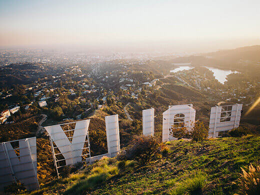
“Glitch” aside, the best view of the sign (if you’re looking for the money shot) is actually from a dog park next to the Hollywood Reservoir. Lake Hollywood Park, as it’s called, has nothing standing in the way between you and the sign. It’s a grassy public park filled with dogs and their owners, drones and their pilots. You can pretty much park on the street, walk a few steps, and take a great picture to send home.
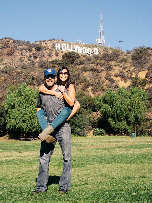
But if you want to get even closer, you can bypass all the Hollywood drama and experience the Hollywood Sign a better way: on a day hike, bagging three peaks along the way.
On New Year’s Day, while most the city was asleep or hungover, I was standing on top of Mount Lee, 1,709 feet above the sprawl. Next to the trail, a wire fence separated me from the famous sign.
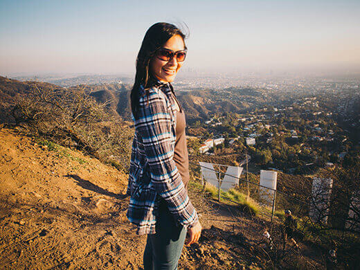
There are a few trails in Griffith Park that eventually end up on Mount Lee, but the best one is also the least crowded one. And it happens to be the shortest one, but with a decrease in distance comes an increase in steepness.
The Wonder View Trail begins in a residential neighborhood just west of the park. Don’t be fooled by all the street signs saying you can’t see the Hollywood Sign from the trail — you just have to keep going.
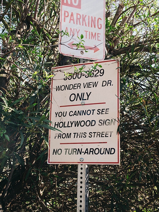
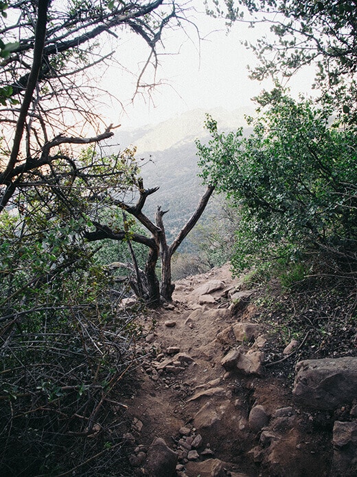
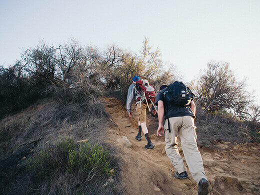
Because there’s no parking right at the trailhead, the first quarter-mile is on a paved road that terminates at the base of a hill. Once you get to that hill, you’re looking up a super steep, super rocky trail that ascends over 700 feet in half a mile — quite a slog!
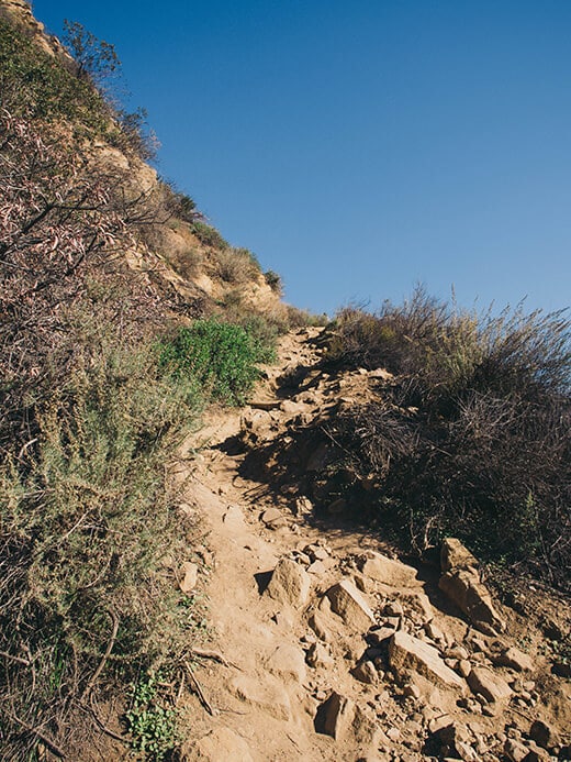
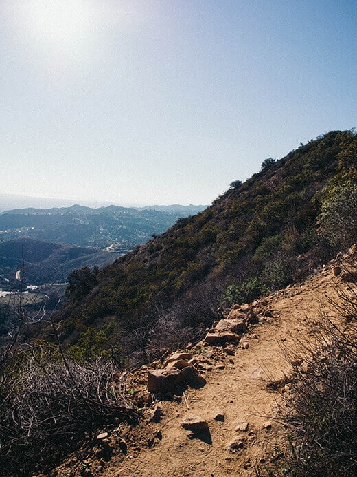
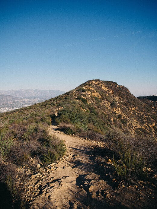
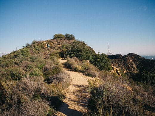
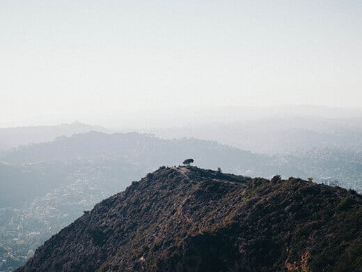
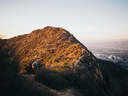
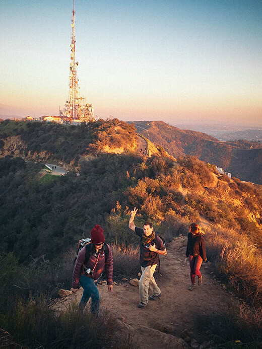
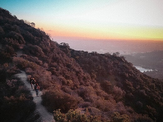
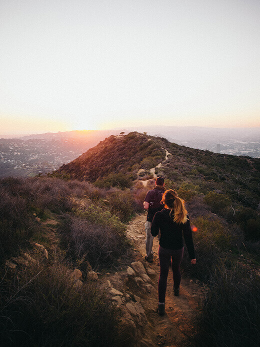
Most of the trail looks like this — a rugged single-track surrounded by sage and scrub. Once we reached the top of the ridge, we turned left onto a flat path leading out to Burbank Peak, our first peak at 1,690 feet.
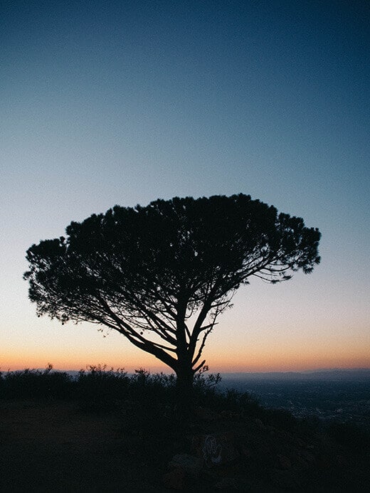
At the end of the path is the Wisdom Tree, the only tree on the ridge that survived the massive Hollywood Hills Fire in 2007. I’ve also heard this tree referred to as the Wishing Tree, Giving Tree, and Magic Tree, and it’s a nice resting place to take in panoramic views over all the cities.
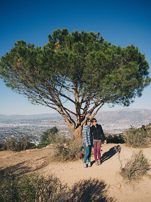
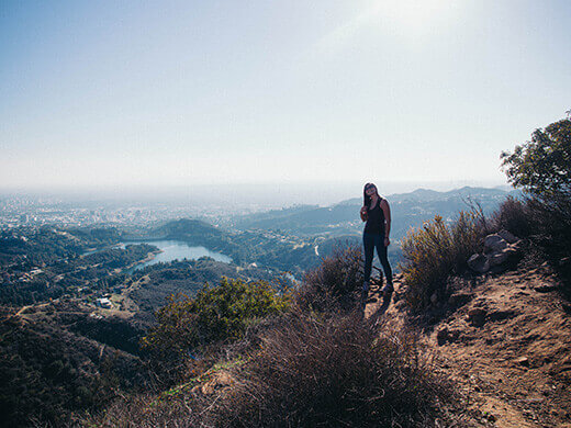
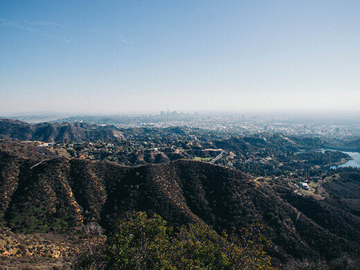
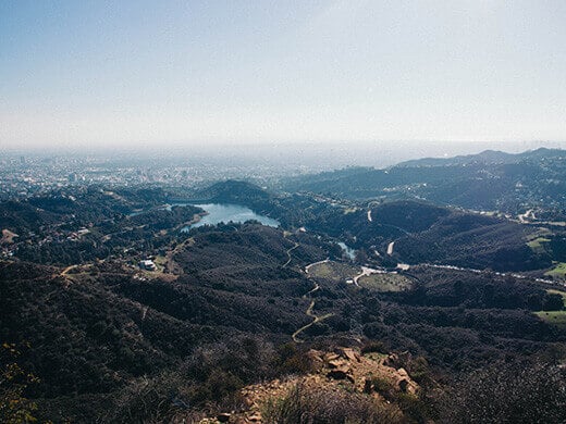
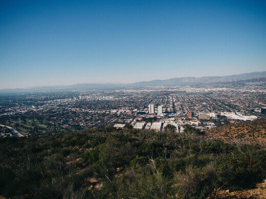
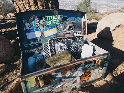
Beneath the tree, two metal boxes stored countless notebooks filled with the prayers, epiphanies, and random thoughts of visitors who had made it to the summit. I was surprised by how many recent entries there were; one notebook alone was completely filled up by hikers during Christmas week.
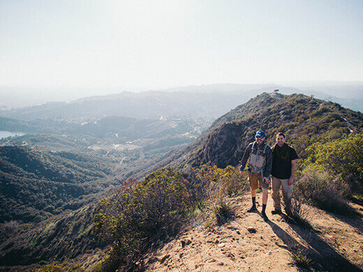
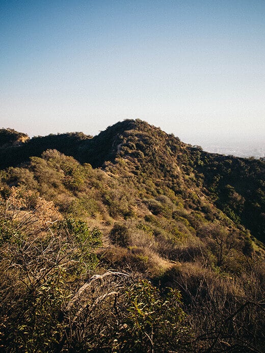
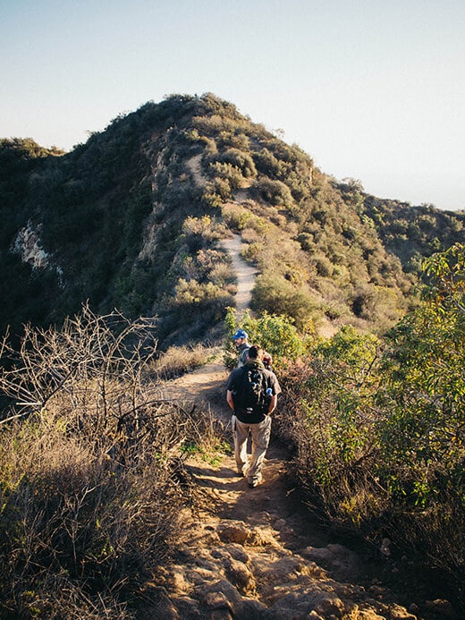
We continued on the trail for another half-mile along a narrow ridge to Cahuenga Peak, the second peak at 1,821 feet. It’s the 12th highest peak in the Santa Monica Mountains but has only been protected as open space within the last few years.
The peak and the acreage surrounding it was owned by Howard Hughes from the 1940s through 2002. Hughes had wanted to build his then-fiancee, Ginger Rogers, a love nest until their relationship fizzled out. His estate held on to the land until 2002, when it sold the parcel to a Chicago investment firm. The investors initially considered turning the 138 acres along the ridge (including the peak) into a custom-built community comprising five luxury estates.
In light of the news, the City of Los Angeles received hundreds of letters from residents pleading for the peak’s protection. When the investors released their plans to sell to developers in 2008, the city launched a campaign to purchase the land from them. A deluge of donations from residents, businesses, celebrities, and philanthropists all over the world raised $12.5 million in two months to close the sale. Among the largest donors were Aileen Getty and Hugh Hefner, who were honored with plaques on top of Cahuenga Peak. Let me tell you, I think this is the only peak in the country that actually commemorates a soft porn impresario!
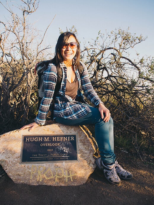
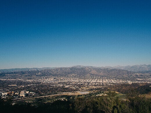
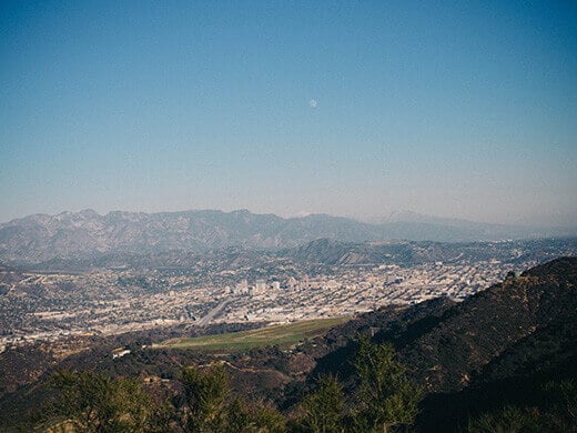
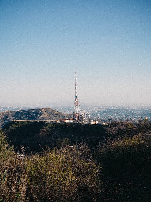
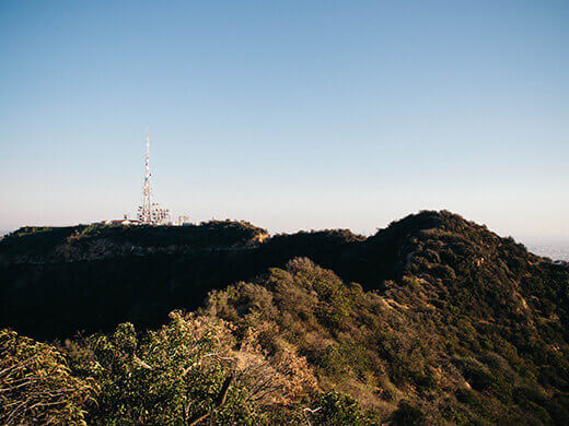
The land was officially added to Griffith Park in 2010 and remains the most epic viewing spot in the city for a 360° panorama of the Los Angeles Basin and the San Fernando Valley. For much of the hike, the trail follows a ridge no wider than 10 feet across, dropping off both sides into deep canyons. On a clear day, you can see the Downtown LA skyline on one side and the Palos Verdes Hills on the other. Turn around, and the Verdugo Mountains rise behind the suburbia of Burbank and Glendale. Off in the distance, only half a mile away, stands the radio tower on Mount Lee.
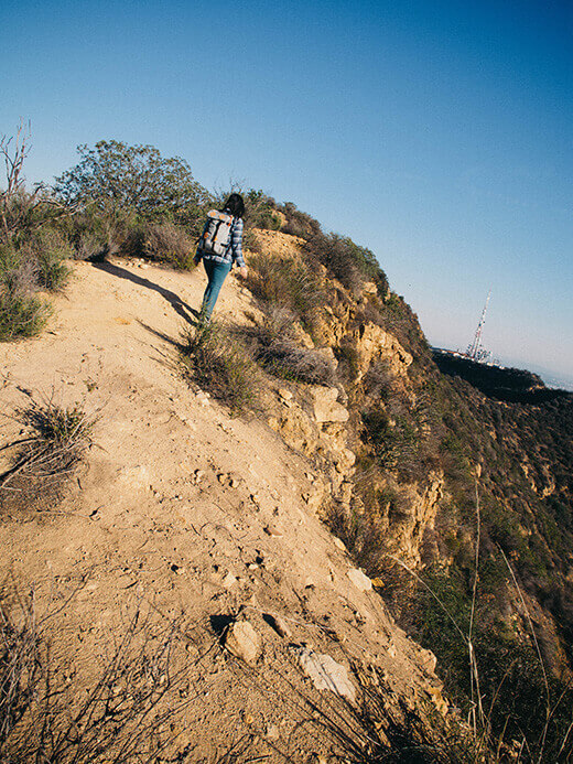
We crossed the saddle between Cahuenga Peak and Mount Lee on the Aileen Getty Ridge Trail (named for the prominent local philanthropist and heiress to the Getty oil fortune) and soon had our first glimpse of the sign, glowing in the late afternoon light.
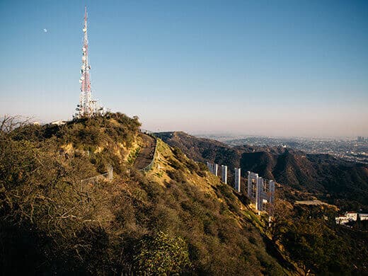
Minutes later the trail ended on Mount Lee Road, a paved service road that parallels the Hollywood Sign. At 45 feet tall and 350 feet long, the imposing letters loomed over the city from its hilly perch.
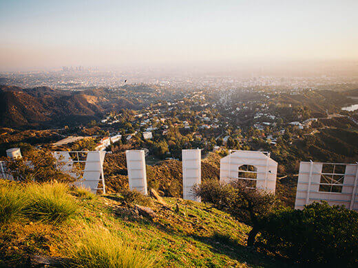
The sign was erected in 1923 to promote a local housing development in the hills called Hollywoodland. (Today, Hollywoodland still exists as a neighborhood in Beachwood Canyon below its namesake sign.) The original sign spelled out HOLLYWOODLAND; after the real estate developer went under in the Great Depression, the sign fell into disrepair and was eventually turned over to the city. The Hollywood Chamber of Commerce removed the last four letters in 1949 and restored the sign to glory.
But over the years, the sign began to deteriorate. The third “O” tumbled down Mount Lee, and arsonists set fire to the second “L.” In 1978, Hugh Hefner, whose love for the town is indisputable, held a sponsorship drive at the Playboy Mansion to raise funds for replacing the sign. The sponsors, who paid $28,000 per letter, included Gene Autry, Alice Cooper, Warner Bros. Records, even the founder of Kelley Blue Book. A new sign was soon constructed to commemorate the 75th anniversary of Hollywood’s incorporation as a city.
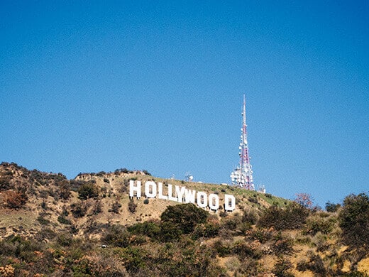
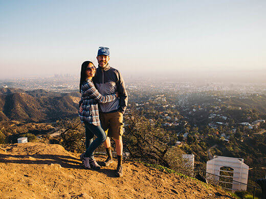
While the sign itself was fully accessible in its early days (struggling actress Peg Entwistle was the first and only documented case of suicide off the sign), it’s now fenced off and secured with cameras. Once you climb to the true summit of Mount Lee about 20 feet above the road, you see the backside of the sign in its entirety — along with Downtown LA, the Hollywood Reservoir, the Century City skyline, and the gleaming Pacific.
The hike is an out-and-back and all told, it’s just a little over three miles round-trip with 1,690 feet of elevation gain. Compared to other trails leading up to Mount Lee, the Wonder View and Aileen Getty Ridge Trails are a fun and challenging hike far removed from the fire roads and mellow incline of more popular trails. It really feels like you’re on a hike, and the steepness gives your legs a good burn right at the start.
But the best part? Staying on the peak until sunset.
We made our way back to the Wisdom Tree just as the sun was disappearing behind the city, marking a beautiful end to the first day of the new year.







Hi Linda! I’m loving your reviews! So much info and history! I’m wondering if I can go to the Aileen Getty Ridge Trail anytime or if there is opening hours… Also, considering I’m a tourist, should I get a guide or can I do this on my own?
xoxo
Didn’t know where to put this, as I know you prefer queries in a group discussion. Kathy and I are headed to your old stomping grounds in a couple weeks. Going to spend a few days with my favorite aunt and uncle in Dana Point and then 1 in Santa Barbara and 4 in Los Olivos. Looking for hikes between 4-7 miles, roundtrip. Would go 10 if the payoff is good. Besides the San Luis Obispo Thursday night market any others along the way you’d suggest? Thanks!
Hope this isn’t reaching you too late! I recommend any hike in Montaña de Oro (on the coastline near SLO), and Seven Falls and Lizard’s Mouth (Santa Barbara). Have fun out there!
Lol- I didn’t see this till just now- but its appropriate, we’re headed back in a few weeks (favorite aunt and uncle live out that way). Also hoping that pink peppercorn tree has some berries left.
A worthy hike within city limits. And those views! Hiking to the Hollywood Sign http://t.co/UvECrhTrZJ #losangeles #california
You can look up at it from the city, or you can look down on it from the mountain. Hiking to the Hollywood Sign http://t.co/W9R6d4Oyhg
The best trail to the sign is also the shortest, steepest, and least crowded one. Hiking to the Hollywood Sign http://t.co/p0Jg5waIBE
A challenging urban hike that actually feels like you’re on a real hike. Hiking to the Hollywood Sign http://t.co/sbvYcIFq7L #losangeles
An urban hike in the heart of Los Angeles that offers an epic 360° panorama of the LA Basin and San Fernando… http://t.co/8y1HrhYLfl
Travel tips: #hiking in LA to see the glorious #Hollywood sign: http://t.co/pZOamdKqJH @theGardenBetty #California #travel #dreams #LA
After 13 years of living in LA, I finally did it! And it exceeded every expectation. Hiking to the Hollywood Sign http://t.co/ENpx23o962
What a great way to spend New Year’s Day! I like to get a hike in whenever I travel so I’m always collecting information on good urban hikes. When I was in L.A. a couple of years ago, I was surprised to learn how much great hiking there is right in the city and that there is even a national park site at the city’s geographic center. My husband and I considered hiking in Griffith Park but, on the recommendation of a friend we were staying with, ended up hiking Solstice Canyon in the Santa Monica National Recreation Area. Have you ever hiked there? We saw some interesting ruins, a small waterfall, and great views of the Pacific. Next time, I will check out this trail!
I think that’s one of the things that surprises people most about LA – we have a lot of open space! I hiked Solstice Canyon a long time ago, and there are many just like it all over the Santa Monicas and San Gabriels. Winter and spring are great seasons to visit as the waterfalls are usually running, but even in summer, you can be deep in a cool canyon and not even feel like you’re just half an hour from town. Definitely put the Wonder View Trail on your list; it’s one of my new favorites as far as urban hikes go!