When Will and I volunteered for California State Parks Foundation a week ago, we knew that we wanted to end the weekend (or more accurately, start the week) with a summit of Mount San Jacinto, the highest peak of the San Jacinto Mountains and sixth most topographically prominent peak of the lower 48.
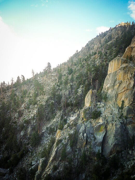
Mount San Jacinto is known as one of the “Three Saints,” the three highest points on the three highest mountain ranges in Southern California (Mount San Antonio of the San Gabriels and Mount San Gorgonio of the San Bernardinos are the other two). What makes these mountains so special is that on a clear day, you can actually view the other Saints from the summit or slope of each one.
Mount San Jacinto was my first ascent of a Saint (and hopefully not my last), but I’ll admit that we took the easy way up. It rises to an elevation of 10,834 feet but the Palm Springs Aerial Tramway, combined with a couple nights of camping in Tamarack Valley, gave us quite a head start to the summit.
Hardcore hikers can take the infamous Cactus to Clouds Trail that gains an astounding 10,200 feet of elevation over 14 miles from the desert floor in Palm Springs to the alpine peak of San Jacinto (a vertical half mile more than Mount Whitney, and the greatest elevation gain of any trail in the contiguous United States), but our route shaved that down to just over 1,600 feet of elevation gain in only 4 miles. It almost felt like we were cheating!
But despite the shorter distance, it was high summer and we decided to start our hike just after sunrise, as the day would surely get hot even at the lofty altitude.
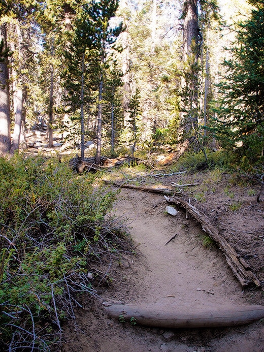
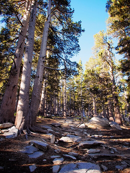
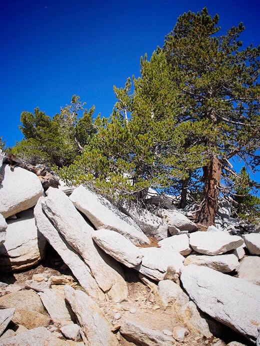
The toughest part of our trek was the first mile, a continuous climb up to Wellman Divide. Even under the shade of lodgepole and Jeffrey pines, I found it to be a grind (especially after two days of trail building with CSPF!).
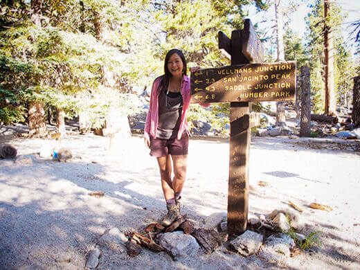
When we reached Wellman Divide, my legs gave a sigh of relief. It was also the first viewpoint on the hike, so we soaked it in for a few minutes while fueling up with a snack. Just across the canyon were Tahquitz Peak and Red Tahquitz, which lie on the western slope of the San Jacinto Mountains.
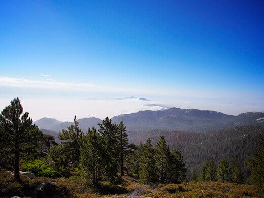
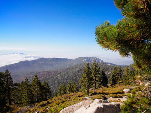
The next part of the hike was on contour, which made it much more leisurely. We came across a couple of deer on the wildflower-filled trail and could see the expansive green meadow at Round Valley, the campground below ours. In the early morning hours, before the tram started dropping off day hikers, there was not one other person on the trail.
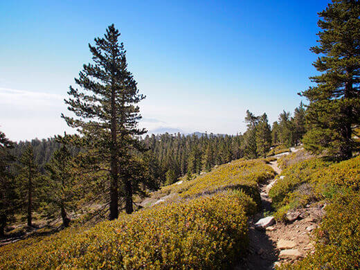
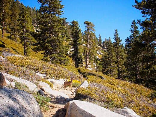
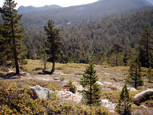
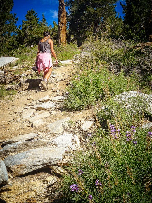
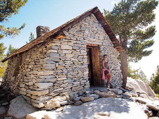
As we neared the peak, we passed the Mount San Jacinto Peak Shelter. The stone hut was built in 1933 by the Civilian Conservation Corps and since then, it’s relied on other civilians (mostly hikers) to maintain it.
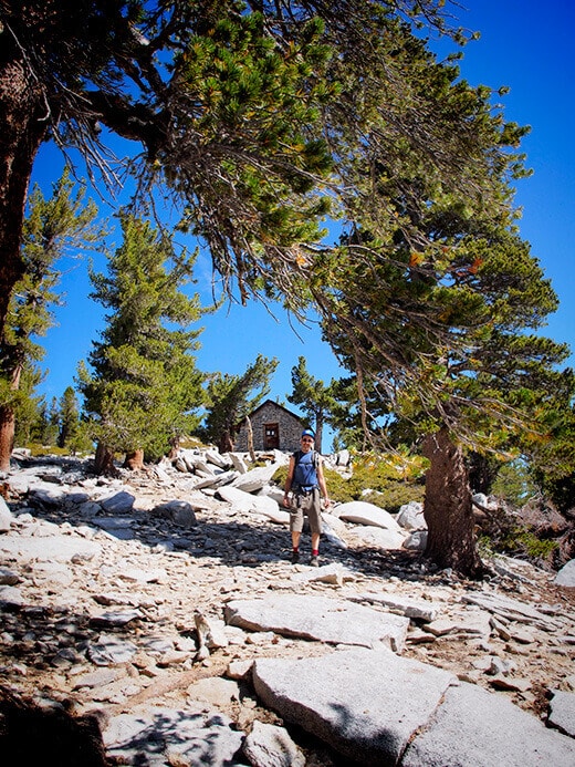
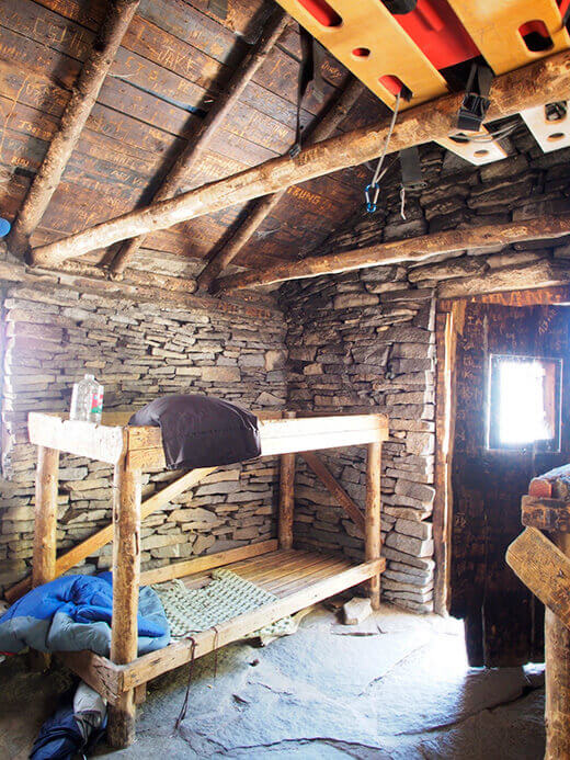
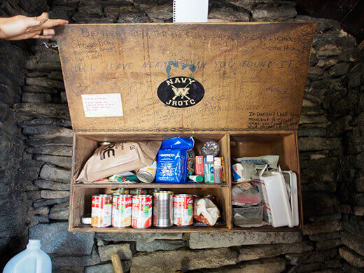
Inside we found a few bunk beds and an emergency rations cabinet that held canned food and first aid supplies, all of them donated by passersby.
From the hut, we had a final boulder hop up a quarter mile to the peak of Mount San Jacinto, or San Jac as it’s affectionately called. Naturalist John Muir once wrote, “The view from San Jacinto is the most sublime spectacle to be found anywhere on this earth!”
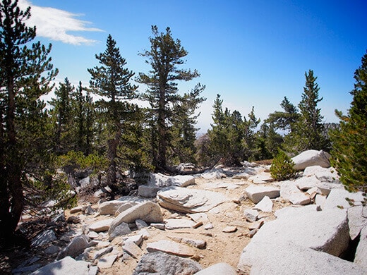
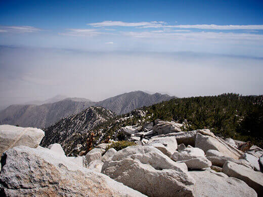
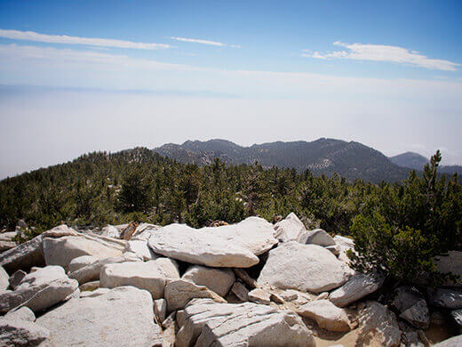
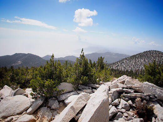
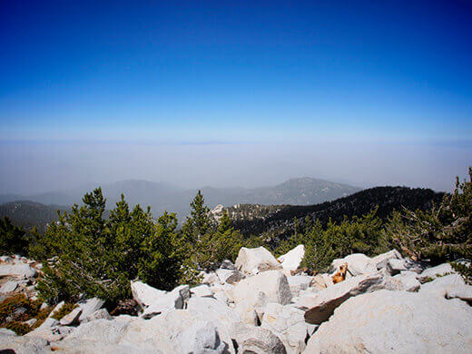
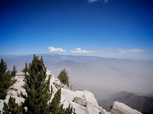
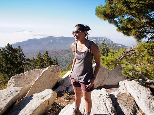
Standing on the summit offered serene 360° views of the San Jacinto Wilderness, but not for long.
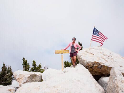
The longer we lingered at the top, the quicker the clouds seemed to move in until we were standing inside a cloud. What looks like a gray sky here is actually a cloud enveloping us!
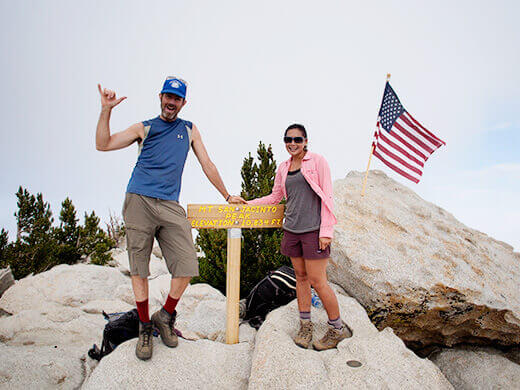
A distant roll of thunder reminded us that we’d better get a move on down the mountain. Though it never ended up raining on us, the air was humid and smelled of summer monsoon. We headed back to camp, packed up, and hiked out to the tram station. Within minutes, we were whisked away from the thick green wilderness of San Jacinto to the dry dusty desert of Palm Springs — talk about a culture shock after three days in the woods!






I just want to say that I always visit your page. I love reading about your adventures andy hopefully I’ll go to the places you’ve been one of these days. 😀
Thanks so much for the nice comment! I know you’ll make it to one of these places soon, if not to another gem near you. 🙂
We visited Mt. San Jac a few years ago during spring break in March and rode the tramway. There was a blizzard going on and the tram ride was a hoot in the blowing snow. The kids got to see individual snowflakes for the first time. We do not get much snow in Houston so it was a treat.
Wow, a blizzard in SoCal! That must have been the big winter we had three or four years ago. I’ve gone cross-country skiing at the top in good snow years; it’s such a different world in summer. Love seeing both seasons of the mountain.
The most accessible high peak in Southern #California! Summiting the Three Saints: Mount San Jacinto http://t.co/ahCyVWi57n #adventure
10,834 feet above the desert and covered in clouds. Summiting the Three Saints: Mount San Jacinto http://t.co/NDtKJhcy6R #california #hike
The second highest peak in Southern #California is an easy #hike away. Summiting the Three Saints: Mount San Jacinto http://t.co/JhZ1CsSSjB
1 down, 2 to go on Southern #California’s tallest ranges. Summiting the Three Saints: Mount San Jacinto http://t.co/i3jUdz1738 #hikerchat
Blogged on Garden Betty: Summiting the Three Saints: Mount San Jacinto http://t.co/53EoUs8i4Z